3D maps (Terrain)
Topo Maps 3D Maps G_3Dmaps 3D terrain map
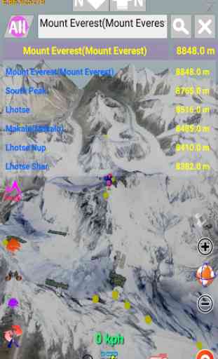
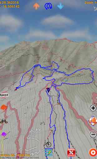
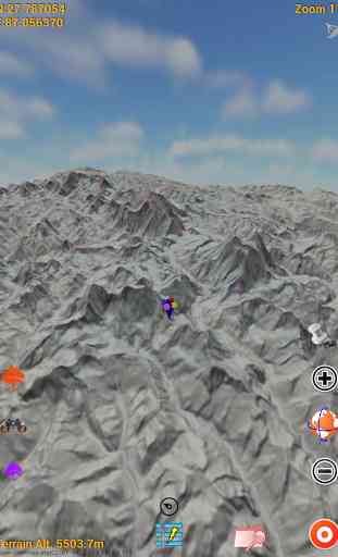
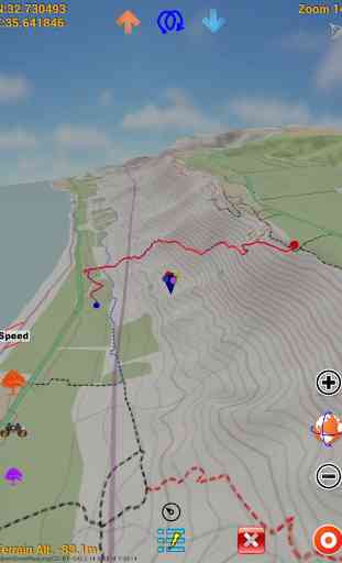
To cover whole world in detail 3D terrain map.Finding peaks(290,241) of the worldThis application covered whole world 3D terrain map based on tile service.You can use several Open Street Map.OSM map tiles and elevation data are downloaded only one time.Downloaded data are utilized as off-line data.Your outdoor tracking(ski,climbing,running,flight etc.) data is 3D basically.Save 3D track and Review it.Track saving format WOO,IGC(enable validation),KML,GPX is available.Import track format also is same.Enjoy whole world 3D track history.
Elevation data's max resolution is 30m×30m.
Category : Travel & Local
Related searches
Reviews (4)
Ric. D.
Mar 22, 2016
This is the one for terrain and eveb every view of hills .ios terrain 4wd app a $100 which is proberbly useless. here get this.
Dan. m.
Aug 14, 2015
Log and your GPS routes then view them back in 3D rendering. Begin able to visualise terrain is a fantastic tool for planning future routes. I have experienced frame gitter at high zoom levels. This app is showing wonderful potential. With a little refinement I would purchase it as it is the best available on in its class. Keep up the work. .(edit 15/08/2015) With the last update zoom issues have been fixed.
Sta. T.
Jan 3, 2016
It takes ages or 3D maps to load when zooming in and out. Not easy to use. I requested a refund about 120 seconds of using it.
This is a brilliant app! However it has a terrible interface, the search function is confusing and innacurate. Finally there is rarely a good cell signal on top of mountains so the fact that this can't be used offline is a deal breaker