Berkeley County SC GIS Mapping
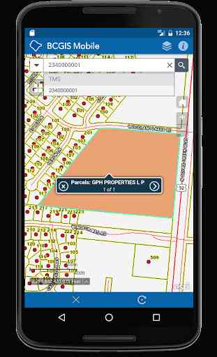
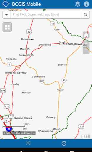
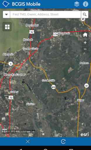
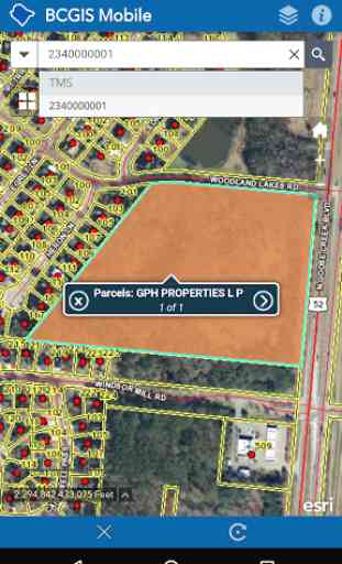
The Berkeley County SC GIS Mapping Mobile app provides basic and easy access to Berkeley County South Carolina GIS information on mobile devices. You can search by TMS number (PIN), owner name, address and street name. Also, you can enable the display of your coordinates based on the center of the map. In addition, Berkeley County GIS Mapping Mobile app provides access to our 2014, 2011, 2009, 2006, 2004, 1999 and 1995 aerial photography.Map data is accessed from Berkeley County’s local GIS server. ArcGIS API for JavaScript and ArcGIS Online data is accessed from various ESRI servers. Performance and load times will vary depending on network speed. Please be patient. Data is updated weekly.Mapping API provided by Esri's ArcGIS API for JavaScript and ArcGIS Online.The application may be further developed in the future.DISCLAIMER:THE COUNTY OF BERKELEY AND ITS GIS DEPARTMENT DISCLAIMS ACCOUNTABILITY FOR THIS PRODUCT AND MAKES NO WARRANTY EXPRESS OR IMPLIED CONCERNING THE ACCURACY THEREOF. RESPONSIBILITY FOR INTERPRETATION AND APPLICATION OF THIS PRODUCT LIES WITH THE USER.
Category : Productivity
Related searches
Reviews (4)
Cra. J.
Feb 2, 2020
Absolutely horrible app. Locks up continuously, only opens half the time at best, and seems to basically be a link to a GIS website. 100% waste of time.
Mar. H.
Oct 2, 2018
The app works well but I truly miss the GPS component! It is about half as useful without it!! Any hope of adding it back on? Please!!
Don. S.
Dec 6, 2017
Would be nice if it used GPS like the older app does.
This app used to be awesome... Then the gps function went away a while back...The past 2 times I've been on here it doesn't work. Only the very basic base map function is visible. No satellite images. No property lines. NOTHING! FIX THIS PLEASE!