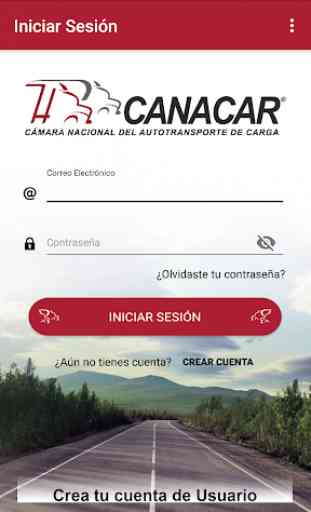
CANACAR - Paradores México
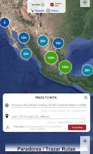
Through the “Paradores México” application, 470 physical spaces (paradores) suggested by the Under Secretary of Infrastructure of the Ministry of Communications and Transportation (SCT) can be consulted and geolocated for breaks and breaks.
This application is part of the benefits of participating in the “Transporting to the Country, Transporting to Mexico” program of the National Chamber of Freight Transport.
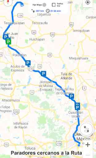
Users may draw origin-destination routes to identify the existence of the hostels located within the perimeter of the generated route. In it, the operator can consult the "comfort and safety" services available to the space, among other data. In addition, you can rate and post comments about the place, so that this information is useful for other users.
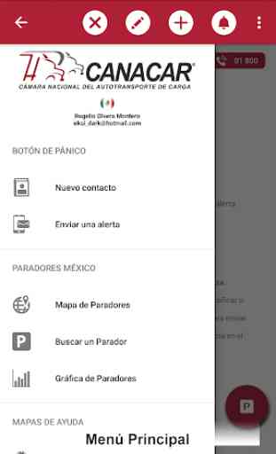
The application has a panic button to send help alerts in case of an emergency or eventuality along the way.
It also has two real-time maps, the first shows the areas of greatest risk for cargo transportation in Mexico and the second shows the typification of roads A, B, C, D and ET of the country as well as the vehicle configurations allowed taking account for the maximum length, width, height and gross vehicle weight authorized.
The application has several tools for example:
• Map risk areas for cargo transportation.
• Map typification of roads A, B, C, D and ET.
• Fines tabulator (based on current regulations).
• Video informative capsules.
• Relevant news from the sector.
• Real time notifications.
• Emergency numbers.
• Among others.
This application is part of the benefits of participating in the “Transporting to the Country, Transporting to Mexico” program of the National Chamber of Freight Transport.
Users may draw origin-destination routes to identify the existence of the hostels located within the perimeter of the generated route. In it, the operator can consult the "comfort and safety" services available to the space, among other data. In addition, you can rate and post comments about the place, so that this information is useful for other users.
The application has a panic button to send help alerts in case of an emergency or eventuality along the way.
It also has two real-time maps, the first shows the areas of greatest risk for cargo transportation in Mexico and the second shows the typification of roads A, B, C, D and ET of the country as well as the vehicle configurations allowed taking account for the maximum length, width, height and gross vehicle weight authorized.
The application has several tools for example:
• Map risk areas for cargo transportation.
• Map typification of roads A, B, C, D and ET.
• Fines tabulator (based on current regulations).
• Video informative capsules.
• Relevant news from the sector.
• Real time notifications.
• Emergency numbers.
• Among others.
Category : Maps & Navigation
Related searches