CarryMap Observer
CarryMap Observer features:
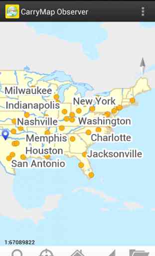
• Map navigation (Zoom in, Zoom out, Pan) and rotation.
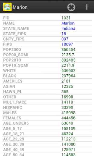
• Identifying features on the map.
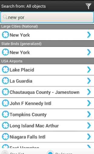
• Search for features on the map by attributes.
• Point data collection in the field by adding pushpins with descriptions.
• Point pushpins import/export to KML (KMZ) files.
• Displaying current location using GPS.
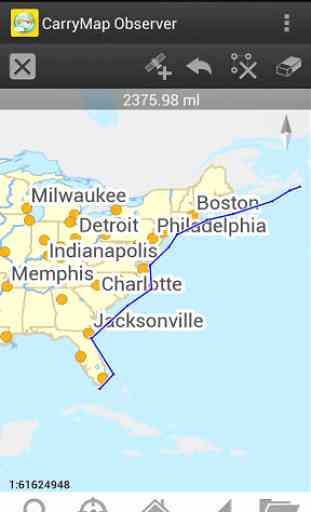
• Distance measurement.
Category : Travel & Local
Reviews (21)
Latest version keeps asking for password on the map when I never set up the map to require a password.
In the past I could access a cmf file on my SD Card in Android, but this does not seem possible now. I do not have space on the device for the large cmf of the vegetation of South Africa, so now I cannot use the app.
Verry usefull
Best of all
Search option doesn't work ...
Could work. Is there anything for South Africa, RSA?
So far I have found that this program works really well. After the update we have had problems of searching for addresses, and when ever you start the program up it don't us the starting zoom that you have set on the map document. I hope that you get this fixed soon.
Very helpful for GISer at field with no difficulty in case Battery GPS used up.
The ability to load and display huge amount of data was a superb. Will be much better if the developer add the tools to edit, save, and export modified layers. Also please enable synchronisation with dropbox..
minus, the phone screen goes off. Manufacturers - make the screen not to off
This app really works well for disconnected environments. Pretty stable in handling large files.
Nice app..so helping when survey..
This app and the accompanying ArcGIS extension has been a perfect fit for our needs as a small utility. This is an offline mapping solution that is very easy to implement. The customer service is also very impressive.
If you want to carry your gis data and use it on android device, this is the best choice
Installed on my nexus 7. Every time I try to load my map.cmf, the apps keep crashing. Please look into this. - it was my projection need to be review. after discussion with support group, I found this apps need to support all other projections as well. other than that, i found this app the best apps ever, allow me to use my data.
This is one of the best apps I found to use in the field.thx dataeast to make my work easy
I work for a municipal electric utility, and we use ESRI ArcGIS extensively. This is, by far, the best app I've found that enables our staff to carry all of our GIS data in the field. It's also amazing that symbology created in ArcGIS is seamlessly exported to the app map. And unlike ESRI's portable map app, you don't need a wi-fi or cellular connection to the cloud. It's also very cool that a touch of the screen accesses all of the feature data, even the stuff that is stored in GDB's on the desktop. Simply a fantastic app.
The best mapping app.Congrats DataEast for this great innovation.
I loved it
does not function with android
after update, i cant open my file before..!! i cant work my job like this