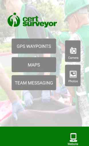
CERT Surveyor
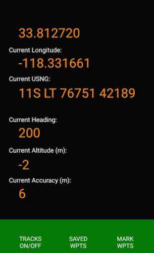
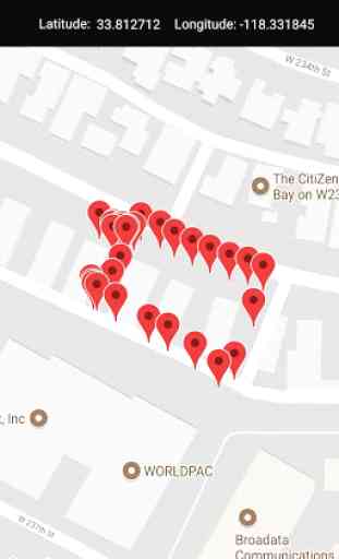
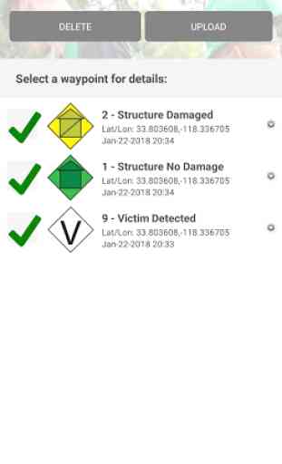
CERT Surveyor is designed by and for community emergency first responders for collecting information to help coordinate search and rescue operations. The app uses standard FEMA CERT icons for dropping waypoints on a map, allows creating tracks at variable intervals and distance deltas, and loads pdfs maps as well as create live maps with waypoint icons. All data can be uploaded to the accompanying website account and for data download as KML or GPX file formats for importing into ArcviewGIS and other GIS mapping platforms.
TEAM MANAGERS/LEADERS: Please contact [email protected] for having your CERT Surveyor account upgraded to the team Leader edition that can see all your team members on the website who have signed up with the same team code in the app.
TEAM MANAGERS/LEADERS: Please contact [email protected] for having your CERT Surveyor account upgraded to the team Leader edition that can see all your team members on the website who have signed up with the same team code in the app.
Category : Communication
Related searches
This is a pretty well designed and handy tool