DDOT Permit Viewer
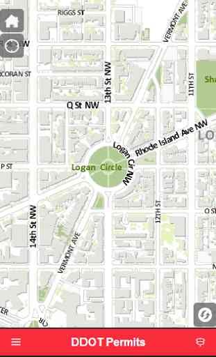
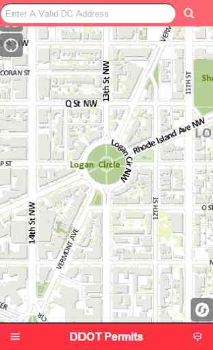
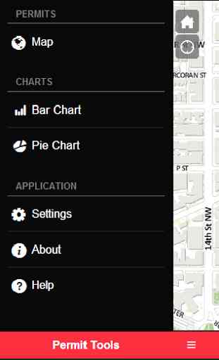
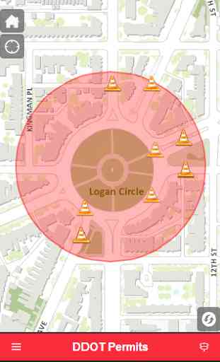
Locate and discover information regarding Washington, DC public space permits using to District Department of Transportation (DDOT) Public Space Permit Look Up tool. This geographic information system (GIS) centric app gives the public an opportunity to view public space related permits on an interactive map; while also obtaining its corresponding information i.e. issuance and expiration date Features:• Users can enter a location: a specific address or significant DC landmark i.e. White House to display all nearby public space occupancy and/or construction permits• Easily displays permit information such as permitee name, duration of the permit, permit number and status• Provides a buffer (in miles) to zoom in and out of the map areaWant to discover more about permits in a specific District ward, use the public space dashboard:• Tap the menu button on the bottom left • Next, tap on settings • Then tap on the ward field to select a ward• Choose which permits to show in the charts: occupancy or construction• Tap the menu button again and select either bar or pie chart for display
Category : Maps & Navigation
Related searches