Disaster Surveyor (Domestic version)
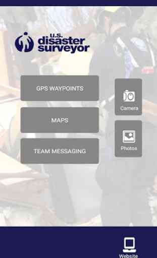
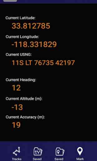
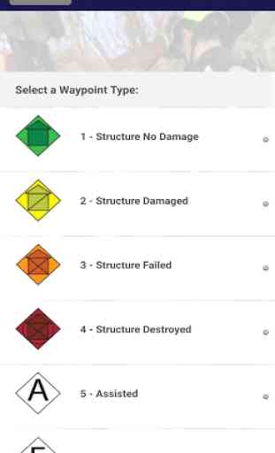
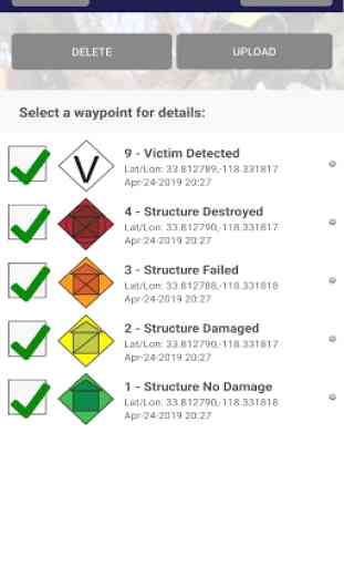
U.S. Disaster Surveyor is designed by and for domestic first responders for collecting information to coordinate urban search and rescue operations. Using standard FEMA waypoint iconography with the ability to attach photos and detailed "follow up" fields, USNG coordinates, as well as simple team messaging, maps and more, the app and accompanying website gives any team or group the ability to gain situational awareness for disaster recovery and rescue efforts. All information uploaded to the website can be exported to Excel, KML, and GPX formats for import into ArcviewGIS or other mapping systems. Disaster Surveyor provides a complete solution to your emergency team coordination needs.
Important Notes: (1) Please make sure all team members sign up with the same 'Team code' on the signup page for group management. (2) If you are the team commander and wish to have your account upgraded to manage all team members, please email [email protected] with your Team Code. Thank you!
Important Notes: (1) Please make sure all team members sign up with the same 'Team code' on the signup page for group management. (2) If you are the team commander and wish to have your account upgraded to manage all team members, please email [email protected] with your Team Code. Thank you!
Category : Tools
Related searches