DSI MAP on Smartphone
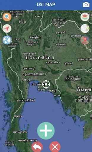
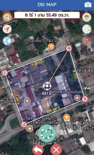
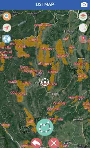
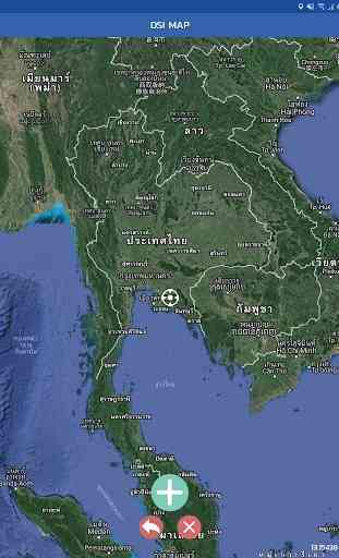
DSI MAP on Smart Phone is a utility program used to monitor the location of land. And there are layers of information. The land can be used for state inspection. Conditional "Is a preliminary examination. Can not be used in any legal reference. "It can be used on mobile phones (Smartphone). Android operating system has basic tools such as drawing area, radial line (Buffer). Find the path to import data. kml, kmz, street view, measure area with current position, measure distance with current location And many other tools that are useful to users.
Category : Maps & Navigation
Related searches