Eesti teed
Our most popular product throughout the years, Estonian Road Atlas, has evolved into a native Android app!
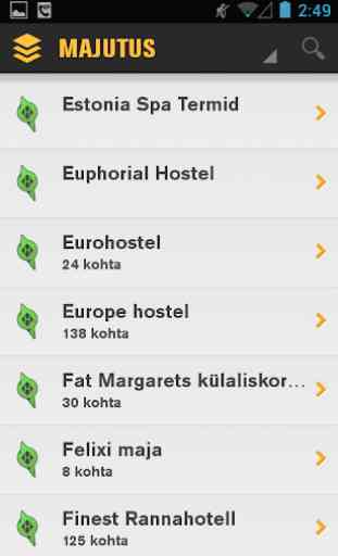
With this app, the most accurate maps and extensive travel information for Estonia are right at your fingertips. More than 8000 sights, leisure activities, accommodation and restaurants, including detailed information on:
• Police stations and tourist information centres
• Hospitals, emergency rooms and clinics
• Bus and train stations, airports and ports
• ATMs
• Post offices
• Entertainment venues from theatres to night clubs and lounges
• Leisure activities from Vilsandi to Narva
• Historical and natural sights
• Car rental and repair services providers
The app packs several useful features, including:
• Offline maps
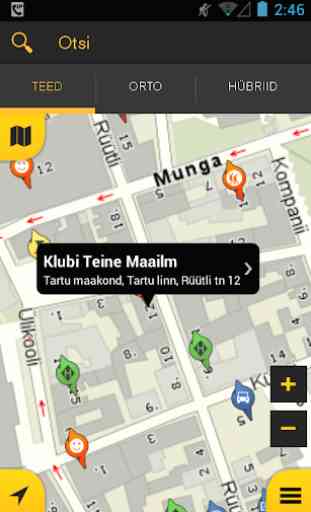
• Changing base map. Currently available: road map, orto and hybrid map
• Real time positioning
• Creating your own customized map by enabling and disabling active map layers
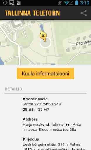
• Detailed information for most objects, including contact information, description and open times
• Object and address search
• Geocoding and reverse geocoding
• Additional information in English is only a phone call away
With this app, the most accurate maps and extensive travel information for Estonia are right at your fingertips. More than 8000 sights, leisure activities, accommodation and restaurants, including detailed information on:
• Police stations and tourist information centres
• Hospitals, emergency rooms and clinics
• Bus and train stations, airports and ports
• ATMs
• Post offices
• Entertainment venues from theatres to night clubs and lounges
• Leisure activities from Vilsandi to Narva
• Historical and natural sights
• Car rental and repair services providers
The app packs several useful features, including:
• Offline maps
• Changing base map. Currently available: road map, orto and hybrid map
• Real time positioning
• Creating your own customized map by enabling and disabling active map layers
• Detailed information for most objects, including contact information, description and open times
• Object and address search
• Geocoding and reverse geocoding
• Additional information in English is only a phone call away
Category : Tools
Related searches
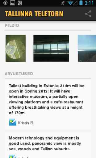
Reviews (5)
Den. S.
Jun 27, 2020
Shows roads that others don't know.
Tan.
May 30, 2022
The best mapping app in Estonia. Especially good for exploring and such. Best satellite picture quality too.
Rob. N.
Sep 12, 2014
No directions means this is useless. Otherwise looks like it has potential.
Kai. M.
Jul 3, 2014
See mäng on lahe
Crashes on my Samsung Tab S5E. Otherwise, useful tool for travellers