Elevation
The GPS receiver uses the WGS-84 reference ellipsoid Model of sea level to calculate elevation. This model has a smooth spherical shape and this means that the "altitude" value displayed on screen is the elevation above this Model and not the real sea level. The shape of the earth is an ellipsoid and not a smooth sphere.This app aims at finding the reference geoid of a location using its latitude and longitude and using this value to calculate the true height above sea level of the location.
Features:
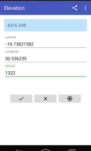
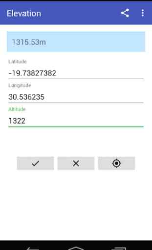
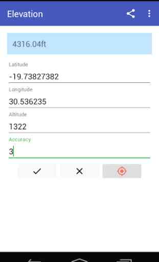
- Corrects elevation for a location using input latitude, longitude and altitude
- Corrects elevation from devices Gps
- Works offline
Possible uses:
- Hiking, camping and other outdoor activities
Features:
- Corrects elevation for a location using input latitude, longitude and altitude
- Corrects elevation from devices Gps
- Works offline
Possible uses:
- Hiking, camping and other outdoor activities
Category : Travel & Local
Related searches
Reviews (3)
A. G. u.
Oct 29, 2016
I don't have to worry about any active Internet connection anymore
kas. c.
Nov 7, 2016
Will be nice
It kept bouncing back and forth. It was moving me when I was standing still