Geotagging+
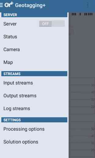
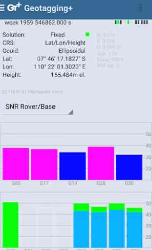
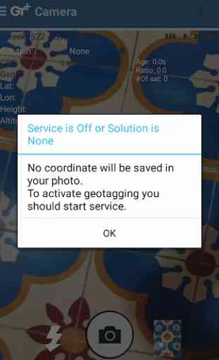
This app allows you to take image and measure with low-cost GNSS module (like U-blox GNSS module or E-GNSS from potretudara : http://www.potretudara.com/low-cost-gps-gis/ ). Measured coordinates from low-cost GNSS module are stored to EXIF image metadata in time when you tap the "capture" button. Use this to create your geotagging more precise to sub-meter level. Very useful for census, GIS support, reporting issue, and others.
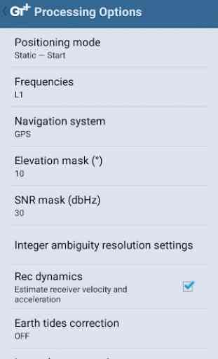
You can still use internal GNSS for geotagging by deactivate BASE and ROVER in the Input Stream menu. Obviously none of the precision algorithm found in RTKLIB can be use.
Image taken by this app will have coordinate metadata, accuracy, and solution type (internal, single, float, or fix).
Heavily based on RtkGps+ from Ronan LE MEILLAT, this is a fork of his work. Original licenses are in the "About/Legacy Info" screen. Thanks to all contributors to respect this clause.
This app is RTKGPS+-like with additional Camera menu. You still can use this app for surveying, tracking, etc. like RTKGPS+ do.
This app is a port of RTKLIB 2.4.3b 28 developed by Tomoji Takasu (http://http://www.rtklib.com/). This RTKLIB 2.4.3 is modified by rtklibexplorer and named RTKLIB 2.4.3 demo 5 b 28 (https://github.com/rtklibexplorer/RTKLIB). If you do not know what this application is, this application is probably not what you are looking for!
App manual : http://bit.ly/shortmanual
Category : Productivity

Related searches
Reviews (4)
A. G. u.
Aug 7, 2017
Good to test !
Riz. R. P.
Jul 27, 2017
Very handy app! Good and creative survey app.
Gho. K.
Aug 3, 2017
☆☆☆☆☆☆☆☆☆ OMG! THIS IS AWESOME!! AMAZING APP!


I hated this because this app doesn't show the date and tim e