Intterra Field Tool
The Intterra Field Tool is specialized mapping tool for viewing, collecting and sharing information (including photos) in SITUATION*ANALYST* (S*A*), online and offline. The SA Field Tool complements and extends the use of S*A* to field users.
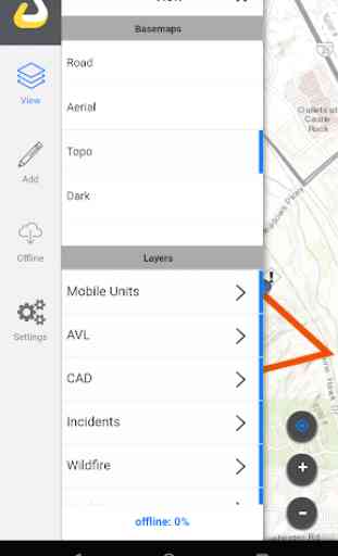
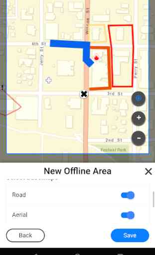
You can see incident maps and collect detailed information for daily use to support incident operations, structure triage, damage assessments, fire prevention, wildfire risk planning, and more. The Intterra Field Tool supports offline operations, including storage of Intterra and user-collected data, basemaps, and updating it all back to your organization's database. This app also lets you register your smart device and enable location sharing so you can be visible in S*A*.
Features:
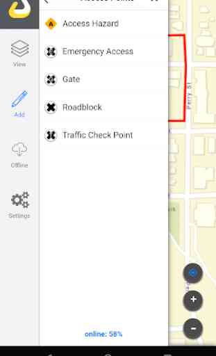
Collect and update data using the map
Draw features on maps (such as fire perimeters) using your GPS track
Fill out forms and attach photos
Use your mobile device for location sharing in Intterra
Disclaimer:
Continued use of GPS running in the background can dramatically decrease battery life.
You can see incident maps and collect detailed information for daily use to support incident operations, structure triage, damage assessments, fire prevention, wildfire risk planning, and more. The Intterra Field Tool supports offline operations, including storage of Intterra and user-collected data, basemaps, and updating it all back to your organization's database. This app also lets you register your smart device and enable location sharing so you can be visible in S*A*.
Features:
Collect and update data using the map
Draw features on maps (such as fire perimeters) using your GPS track
Fill out forms and attach photos
Use your mobile device for location sharing in Intterra
Disclaimer:
Continued use of GPS running in the background can dramatically decrease battery life.
Category : Productivity
Related searches
I might be biased but this is the future for firefighters!