Konect
Data collection and edits are shared between nominated devices and the konect manager in real time, guaranteeing efficiency for field operations.
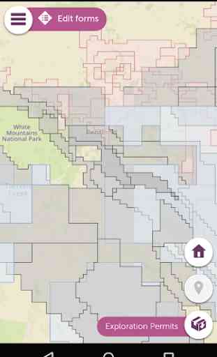
The konect manager will import GIS data or let you create your own that can be combined with free base map data supplied with the application. The konect manager also provides a very intuitive WYSIWYG Custom Form builder. Drag and drop capability ensures that projects are built and deployed to nominated devices in minutes.
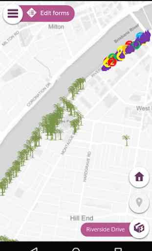
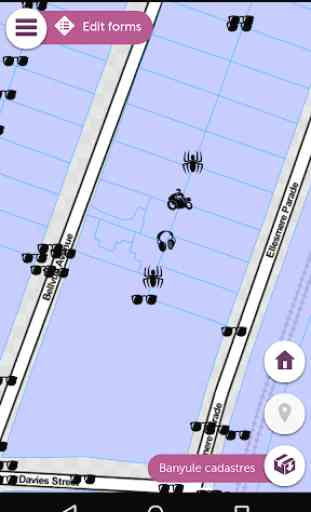
The konect mobile data app is the field component of the complete end-to-end konect solution for the collection and management of geo-located data.
konect mobile app
• Precision drawing tools to create or edit spatial features of any geometry
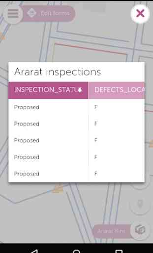
• Custom Forms for data collection
• Pull-down lists and parented lists
• Conditional visibility
• Validation rules
• Annotated photos
• Real time data syncing
• Rendering of large raster & vector datasets
• Multiple projects
konect manager
• Import GIS data including MapInfo, ESRI and GeoJSON
• Create your own data
• WYSIWYG Custom Form builder
• Drag & drop to build and deploy projects
• Query and subset data for field devices and reporting
• Support BYOD staff and contractors
• Export to GIS formats, KML and CSV
Category : Business
Reviews (16)
Has really sped up and improved the quality of my field data collection and retrieval, and as a bonus it's great for navigation. GPS is much less used now. A one-stop shop I guess.
Was great for basic field work, however, there is no way to select seperate projects in the app. When I went to download data for offline use for one project, it tries to download all projects across the state! When I asked tech support for help they suggested I notice Kinect gordo many projects as it's just meant for basic use, also they suggested I get re-training. Which is quite rude. Please train me to understand why you have a seperate projects options, however each project can't be seperate
The app successfully imports geospatial layers and overlays them on map so we can locate assests in the field. Moreover, offile mode works really well over bad internet. Kudos!
Super impressive in terms of functionally. Takes some getting used to initially but quickly stands out above the crowd.
The best field services SaaS platform. We have built a range of complex and powerful projects. It is much easier to use than Survey 123. Now we have linked it to Power BI and Logic Apps for end to end solutions rivalling anything else available.
Great app! Love the Konect's ability to handle geospatial layers, offline mode and assets tracking that are essentials of asset management.
Works well for our routines and detailed inspections. A key feature is being able to add observations in a spatial environment linked directly to our GIS.
Very resource heavy for little result...fastest app to flatten battery.
Good app to free your hands at the inspection site.
Crashes all the time
Can't see the street names and street view
Woeful. Doesn't show street addresses
App has good potententisl needs some features such as trscking etc. like some standard GPS devices . Slso the app has constantly freezes on start up there is a loss of productivity clearing data an reconnecting the app
The app has great potential but is currently a little undercooked, with some significant bugs.
Excellent work flow that allows import and export of native tab files. The precision drawing tools are to die for. Finally a decent map based field collection tool.
Single biggest problem is that Konect can't handle different screen resolution or font size. I have both set to large so I don't have to mess around with my reading glasses in the field. But that means things go off the screen and you can't save your data. It's not a huge problem, but it is a problem.