NRDS Aina Mapping App
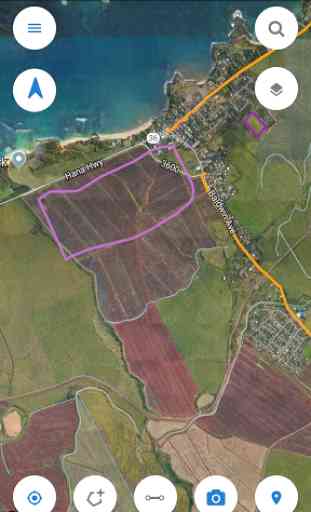
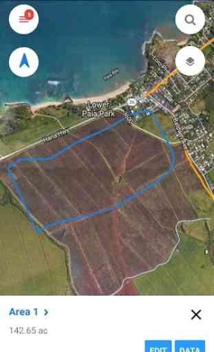
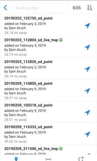
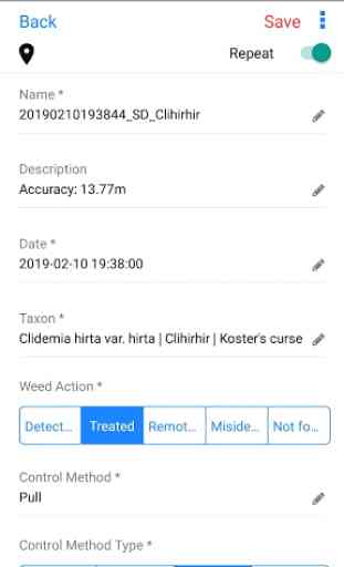
This easy to use mapping and data collection app is to collect geotagged photos, important waypoints, lines, and polygons on and offline by drawing or by tracking with your device’s gps. With credentials you can sync data to the nrds.io platform. A dependable and time saving tool for planning, hiking, agriculture, conservation and real estate. Tutorials are available at https://help.nrds.io/nrds-mobile-mapping-app
Category : Maps & Navigation
Related searches