OSM2VectorTiles
Mobile app with online maps powered by vector tiles hosted on a standard web server, and with offline maps directly embedded in the app. The app can be rebranded and customized to present map layers with new look and feel, powered by the data hosted on your server or distributed together with your app!
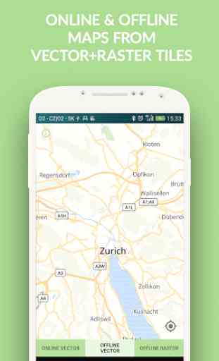
Presented are online & offline OpenStreetMap vector tiles created by OSM2VectorTiles team (http://www.osm2vectortiles.org/), designed in MapBox Studio Classic and stored in MBTiles.The raster tiles are generated from open data (GeoTIFF geodata) by MapTiler (http://www.maptiler.com/).
Visualization is made with the open-source MapBox GL library, used without MapBox hosting plan. Look&feel of the map is derived from the BSD licensed OSM Bright style made by Development Seed / MapBox, and can be adjusted to display features, information, and colors according to the intended use case.
The complete source code of this mobile application (as well as source code of other MapTiler mobile apps) is available to the regular MapTiler Pro customers. Rebranding, customization, consulting and contracted development of mobile applications, including geodata processing and vector tiles in custom coordinate systems is available on request. Contact http://wwww.klokantech.com/.
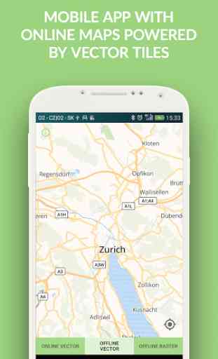
Category : Travel & Local
Related searches
Reviews (4)
Joh. W.
Aug 10, 2019
It's not bad. I did not like the interface. And there's absolutely nothing in terms of settings. Mind you, you *can* download the Offline Maps for the entire world, if you have the space for it. Or download just a country or a city. But you can't download a specific region.
Cha. T.
Jul 20, 2021
street name is not updated
Nic.
Aug 23, 2019
So no chance this will have a search function in the future?
I'd really like to download "full planet" tiles, and I have plenty of room on a supplemental SD card, but the app gives no option as to destination, so I presume it is trying to download to internal memory, which only has half enough space free. The world file appears to be from 2016. Oops. Downloading less than the whole planet isn't much of an option either, since that is still either too much (the whole USA?) or too little. All I would want is one or two states - download sizes comparable to European countries. I'd like to compare this to OsmAnd+, Locus Pro, BackCountry Navigator, et al, but I think perhaps I've already learned what I need to know.