QMap Viewer
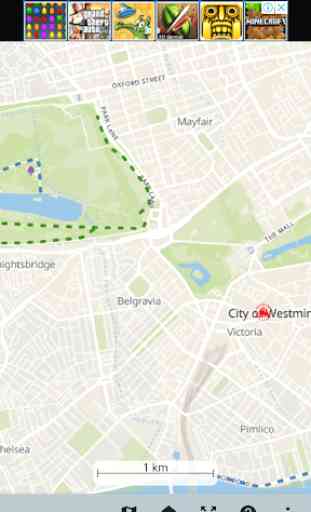
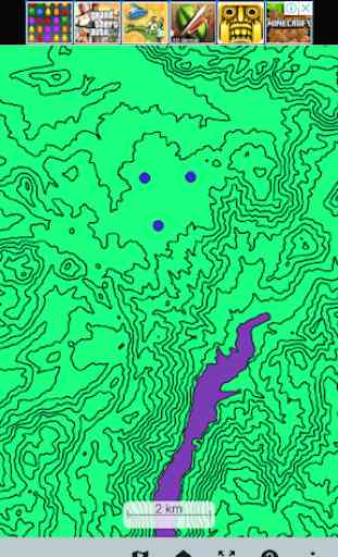
This app displays QGIS projects. It is possible to include CAD, GIS and geospatial database formats. You can transfer QGIS projects to a mobile device to display maps on QMap Viewer.
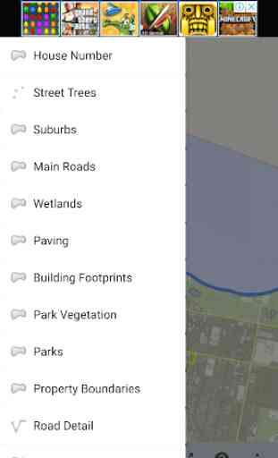
Commonly used geospatial data formats are supported such as Microstation DGN V7, AutoCAD DXF, Esri shapefiles (shp), MapInfo File (mif), e00, tab, GeoJSON, TopoJSON, GML, kml, kmz, spatialite, PostGIS, GeoPackage(gpkg), ASCII Gridded XYZ, ArcInfo ASCII GRID (asc), ERDAS imagine img, grd, JPEG, PNG, BMP, USGS ASCII DEM, GeoTIFF and many more formats.
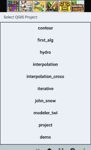
QMap Viewer supports Android 6.0 or up. To display your QGIS projects, transfer your QGIS projects to your device's storage in Surveying_Calculator folder according to help page of the app.
This project is open source: https://github.com/edips/QMapViewe
Commonly used geospatial data formats are supported such as Microstation DGN V7, AutoCAD DXF, Esri shapefiles (shp), MapInfo File (mif), e00, tab, GeoJSON, TopoJSON, GML, kml, kmz, spatialite, PostGIS, GeoPackage(gpkg), ASCII Gridded XYZ, ArcInfo ASCII GRID (asc), ERDAS imagine img, grd, JPEG, PNG, BMP, USGS ASCII DEM, GeoTIFF and many more formats.
QMap Viewer supports Android 6.0 or up. To display your QGIS projects, transfer your QGIS projects to your device's storage in Surveying_Calculator folder according to help page of the app.
This project is open source: https://github.com/edips/QMapViewe
Category : Maps & Navigation
Related searches
There was nothing there