River Levels
Please use the Pro version
It is free as well, and it will replace this app shortly.
River Levels for the United States of America!
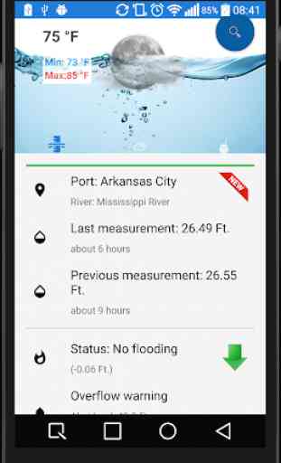
River Levels is an application or service to let the people know the rivers levels in more than 8000 measuring points.
The information is obtained from the National Weather Service of United States of America.
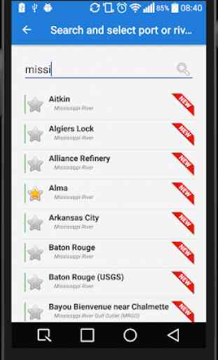
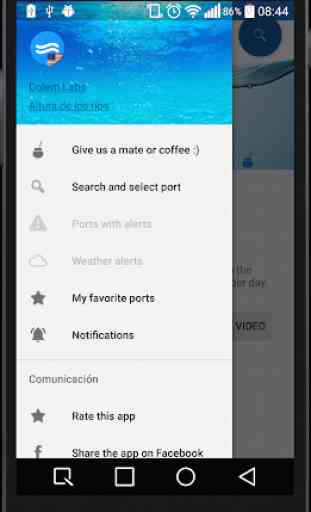
You can search measuring points or river by their names, you can also mark some of the as favorites, to access that information later on, on an easy way!
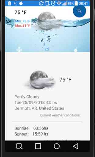
Each measuring point also have their weather information, provided by yWeather.
Weather alerts section, to see all the weather alerts.
Weather prevision for measuring points:
- Astronomical information.
- Atmospheric information.
- Wind information.
- 10 days of weather prevision.
Each measuring point also have a "guarantee strip", which indicates (using colors) the quality of the measurement of the points:
- Green: The information is up to date.
- Orange: The information is not up to date, but it is usable.
- Red: The information is obsolete.
It is free as well, and it will replace this app shortly.
River Levels for the United States of America!
River Levels is an application or service to let the people know the rivers levels in more than 8000 measuring points.
The information is obtained from the National Weather Service of United States of America.
You can search measuring points or river by their names, you can also mark some of the as favorites, to access that information later on, on an easy way!
Each measuring point also have their weather information, provided by yWeather.
Weather alerts section, to see all the weather alerts.
Weather prevision for measuring points:
- Astronomical information.
- Atmospheric information.
- Wind information.
- 10 days of weather prevision.
Each measuring point also have a "guarantee strip", which indicates (using colors) the quality of the measurement of the points:
- Green: The information is up to date.
- Orange: The information is not up to date, but it is usable.
- Red: The information is obsolete.
Category : Weather
Related searches
Reviews (3)
Joh. S.
May 2, 2019
Needs history graphs of all available measurements at a specific station - gauge height, stream flow, water temp, etc.
Way. S.
Mar 2, 2019
needs a little work, but not bad
I have used this app for a couple of years and it is very useful to check local river stages. The only thing is the screen doesn't appear to update frequently. Maybe it does but often the level shows the same reading for several weeks. Thanks