SeaMap
Additional keywords: vessel boat sail navigate lighthouse sea lake map seamark seamarks SIGNI IALA-A watermap
Category : Travel & Local
Reviews (24)
Just shows google maps, nothing more, dont waste your time with this app.
Does not show any navigation markers. Useless, hence uninstalled.
I like this app
Need a way to show the position of an item via clicking on it. Click on a light to show its latitude and longitude. Sort of the same way Maps.Me and Osmand works. Click on the map anywhere to get the position.
Brilliant for a while but charts, especially the Portsmouth approach channel in the Solent now dangerously out of date.
Missing offline maps in app based on OSM data, ads.
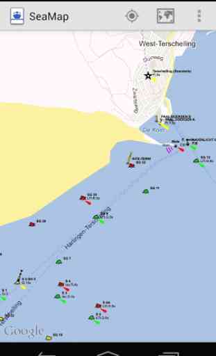
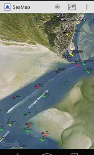
This is a very handy map for Android devices,works very well on both my Galaxy S4 and my 10" Samsung tablet. You can use either the basic map view or you can use the more detailed map that works like google earth showing you all the land mass and waterways. You can even see fine details on the water like where sand bars,buoys etc are.
Good app.working well on my android.although its off position at times. It could be nice if speed and course will be added.
Useless. I cant go with it. I need to know where is safe depth for my yacht
It's kinda good. Has few mistakes but doesn't matter. Keep up doing your job!
Cant work with Galaxy S5 or tablet as menu tab is not accessible.
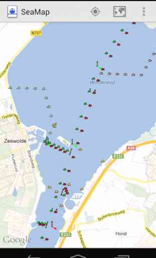
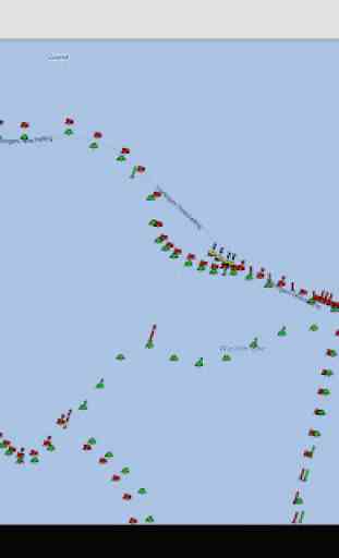
I have recently been updating the seamarks in a nearby lake and they show very well in OpenSeaMap. In this app however they are way too small. I cant make out the icons or the labels. Also, the view seems weird and rubber bandy. Zooming and panning sometimes bounce you around and it seems like the seamarks sometimes disappear when you try to zoom or pan around them. The illegible iconography and labels make this app unusable for its intended purpose on my device.
There are no marks no depth no anything..
there is no soundings...
Really god and really help me when i go sail
Great job....guy's
Should be "MARKER IDENTIFICATION"
The good: overlays cardinals, cones and bouys on google maps. The bad: can't plot or record your course. The ugly: uses online maps... you'll be stuck when you have no internet at sea
If it only works in Europe it should say something on the title. I'm not downrating it because of that though. It requires internet access which would render it useless much of the time.
They will steal your data information. Be warned!
Good, but needs depth information
Update always need to be applied
Love it
Good basis tool, i use it as a back up, together with the NV Charts downloaded on this phone.