SeçGEO
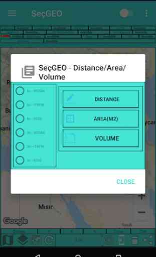
> Coordinated Distance, Area measurement and Volume calculation
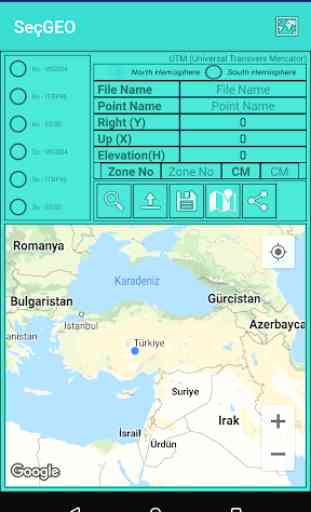
> Coordinate Measurement and Application in Different Datums
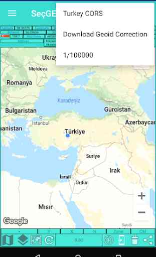
> Using the Web Map Service
> Uploading your projects in KML format.
> Application after loading NetCAD Point file (NCN)
> Instant 3D coordinate information collection and text sharing
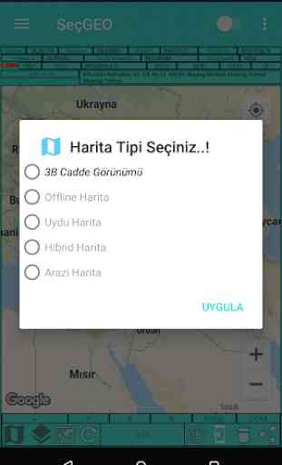
> Ability to use 3D Street view based on location
> Ability to determine position with Special Coordinate System MGRS
> Ability to obtain coordinates in different datums on Google Maps
> village, county, province, country-based address search
> Ability to get instant layout information
> Ability to use English, German and Turkish with multiple languages
> Instant traffic information
> TKGM-Parcel Access to query information
> HGM - Accessing Atlas
> Weather information has been accessed from the General Directorate of Meteorology of the Ministry of Agriculture and Forestry.
> Ability to make application on Google Maps base and take instant location thanks to Network when there is no Internet
> Full address acquisition ...
> Tracking satellite geometry in the sky
> Ability to load the image in Google Earth with the right upper and left corner coordinates
> Layer structure of the railway between Turkey etc. The information can be installed on google Stands
> Map Screen display
> Ability to load 1: 25000 layout index locally
> Ability to select the most ideal route to the location you marked on the Google pad
> Being able to track which direction it moves with the compass while it is mobile on Google map,
> Autonomous distance and area measurement,
> To learn current TR-Earthquake information
> Coordinate Measurement and Application in Different Datums
> Using the Web Map Service
> Uploading your projects in KML format.
> Application after loading NetCAD Point file (NCN)
> Instant 3D coordinate information collection and text sharing
> Ability to use 3D Street view based on location
> Ability to determine position with Special Coordinate System MGRS
> Ability to obtain coordinates in different datums on Google Maps
> village, county, province, country-based address search
> Ability to get instant layout information
> Ability to use English, German and Turkish with multiple languages
> Instant traffic information
> TKGM-Parcel Access to query information
> HGM - Accessing Atlas
> Weather information has been accessed from the General Directorate of Meteorology of the Ministry of Agriculture and Forestry.
> Ability to make application on Google Maps base and take instant location thanks to Network when there is no Internet
> Full address acquisition ...
> Tracking satellite geometry in the sky
> Ability to load the image in Google Earth with the right upper and left corner coordinates
> Layer structure of the railway between Turkey etc. The information can be installed on google Stands
> Map Screen display
> Ability to load 1: 25000 layout index locally
> Ability to select the most ideal route to the location you marked on the Google pad
> Being able to track which direction it moves with the compass while it is mobile on Google map,
> Autonomous distance and area measurement,
> To learn current TR-Earthquake information
Category : Maps & Navigation
Related searches