The Drilling Toolbox
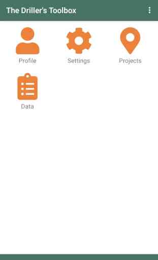
This app is a digital toolbox for groundwater development. It assists in common tasks such as geophysics measurements, and drill log data capture and reporting. Captured data can be organised in projects.
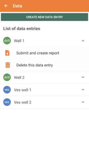
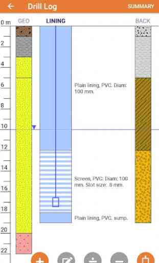
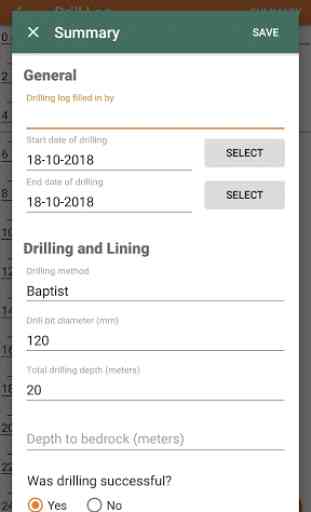
Drill logs -- users can capture information during drilling using a visual interface. When submitted, the user receives a drill log in pdf format with professional layout.
Geophysics -- currently, the app supports Vertical Electrical Soundings (VES) measurements, both using the Wenner or Schlumberger array spacings. Data can be entered in voltage/current format, or in resistance format (for example from a terrameter). The app can be used in combination with the Practica Foundation Volterra device, a low-cost resistivity measurement device.
After submission of geophysics data, the user receives a pdf report with the data, and with computed models for 3, 4, and 5 layers and an Occam model.
In addition, the data can be accessed through a web interface, which is currently under development. The web interface shows data on a map and allows filtering and downloading of pdf reports.
Category : Business
Related searches
Reviews (5)
Ron. S.
Feb 28, 2022
It's really helpful for me in the field. How can I get the license number. I did uninstall and install again so I can use it
man. p.
Mar 17, 2020
App is better, but it's technical support team is not updating or giving further information about payment after trail section
Amo. E.
Nov 27, 2021
This is the best app I ever seen. I recommend it to everybody to download it
San. S.
Oct 22, 2020
This is worst app
Its very nice, but ves and litholoy data correlation is required that is best to understand. What i mean to say, after drilling litholoy we will do VES in that area both data correlation is required. What is the price