WWF Field Kit (Great Ruaha)
The Great Ruaha river rises in Tanzania’s Kipengere mountains, flows through the Usangu plains (a very important region for irrigated agriculture, mostly rice), and along the eastern boundary of Ruaha National Park
- now larger than the Serengeti after the 2008 extension.
This area is home to a rich variety of wildlife, including: greater and lesser kudus, giraffes, zebras, elephants, hippos, African wild dogs, cheetahs, leopards, lions and over 400 bird species. They all depend on the water from the Ruaha. As do the six million people who live near the river and rely on it for drinking water, fish to eat, water for their crops and livelihoods. Farming is the main source of income for around 90% of the basin’s population, who grow crops like rice, maize, beans, vegetables, groundnuts, fruits, millet and potatoes.
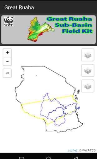
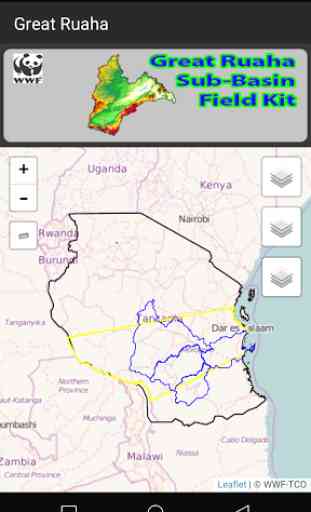
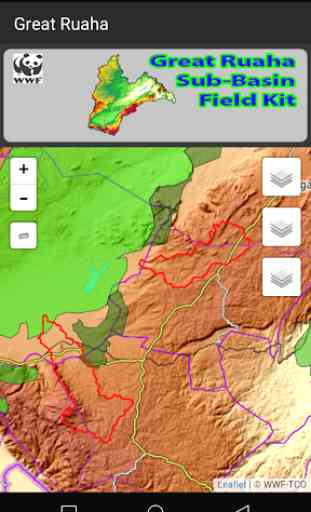
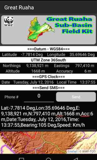
=>The applications main features are:->GPS/Positions.->Mapping (Important basic layers).->Compass/Directions.->SMS Positions.->Waypoints & Tracks Recordings.->Search/Locate/Route.->KML Exports for Google Earth, ESRI ArcEarth, QGIS, etc.->Factsheets/Flyers (Great Ruaha Programme).->Landuse Data (4 Villages).
=>Basic use of the applications:->Data Collections/Dissemination.->Landuse Implementations/Monitoring.->Illegal Activities Reporting (Wildlife/Forests/Water Use).->Communications(News).
- now larger than the Serengeti after the 2008 extension.
This area is home to a rich variety of wildlife, including: greater and lesser kudus, giraffes, zebras, elephants, hippos, African wild dogs, cheetahs, leopards, lions and over 400 bird species. They all depend on the water from the Ruaha. As do the six million people who live near the river and rely on it for drinking water, fish to eat, water for their crops and livelihoods. Farming is the main source of income for around 90% of the basin’s population, who grow crops like rice, maize, beans, vegetables, groundnuts, fruits, millet and potatoes.
=>The applications main features are:->GPS/Positions.->Mapping (Important basic layers).->Compass/Directions.->SMS Positions.->Waypoints & Tracks Recordings.->Search/Locate/Route.->KML Exports for Google Earth, ESRI ArcEarth, QGIS, etc.->Factsheets/Flyers (Great Ruaha Programme).->Landuse Data (4 Villages).
=>Basic use of the applications:->Data Collections/Dissemination.->Landuse Implementations/Monitoring.->Illegal Activities Reporting (Wildlife/Forests/Water Use).->Communications(News).
Category : Tools
Related searches