
XYZmaps
It integrates with our Triangulate app (and others) to display a KML file by simply pressing the Map button. You can turn on and off the GPS to follow your movements on the map. It will only load map tiles while online, while some map apps can be setup for offline use for advanced users. The standard google maps app can only read KML files from a web server, so if you have your file hosted somewhere you can use their Maps app for it by typing the URL into the search box.
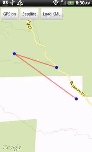
It displays only points and lines (also called waypoints and tracks or paths.) If you tap on the screen, + and
- zoom buttons appear. Or you can pinch or spread with 2 fingers to zoom in or out. Pan the map by sliding it around. Tap on any point to display the coordinates.
It has a button to switch from the default street map, to a satellite image view. While the GPS is on, it displays a scaled red circle representing the accuracy of the position.
For programmers, you can call this app with an intent to import a KML file overlay with this code:Intent i=new Intent(Intent.ACTION_VIEW);i.setDataAndType(Uri.fromFile(new File("/mnt/sdcard/folder/filename.kml")),"text/xml");startActivity(i);
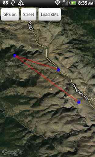
Category : Productivity
Related searches